
Equipment
GNSS equipment
GNSS receivers and mapping solutions from Eos Positioning Systems® for utility, GIS and field-data work. Tell us what you need and we’ll confirm configuration, availability and pricing for your order.
Authorized reseller
Equipment quotes from Peak Locating
Peak Locating is an authorized Eos reseller. Each quote is prepared for the receivers, solutions and options your work needs.
Equipment enquiries: admin@peak-locating.ca or (825) 523-0115
GNSS receivers
Skadi Series™
Rugged GNSS receivers with an integrated antenna, built for GIS and mapping crews and suited to range-pole work. Skadi receivers are device and app agnostic.
-
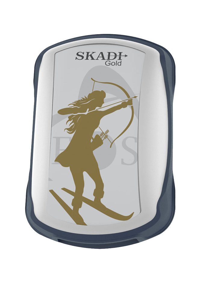 All-frequency RTK
Skadi Gold™
All-frequency RTK GNSS receiver with integrated antenna and optional upgrades.
-
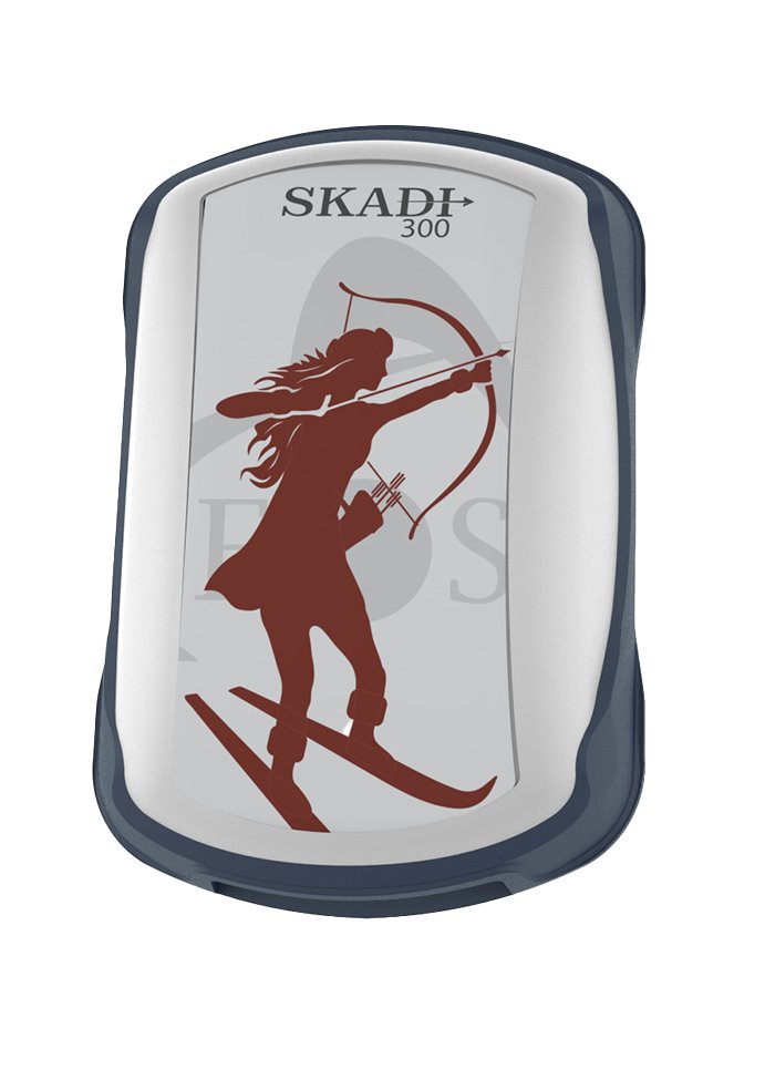 Triple-frequency RTK
Skadi 300™
Triple-frequency RTK GNSS receiver with integrated antenna and optional upgrades.
-
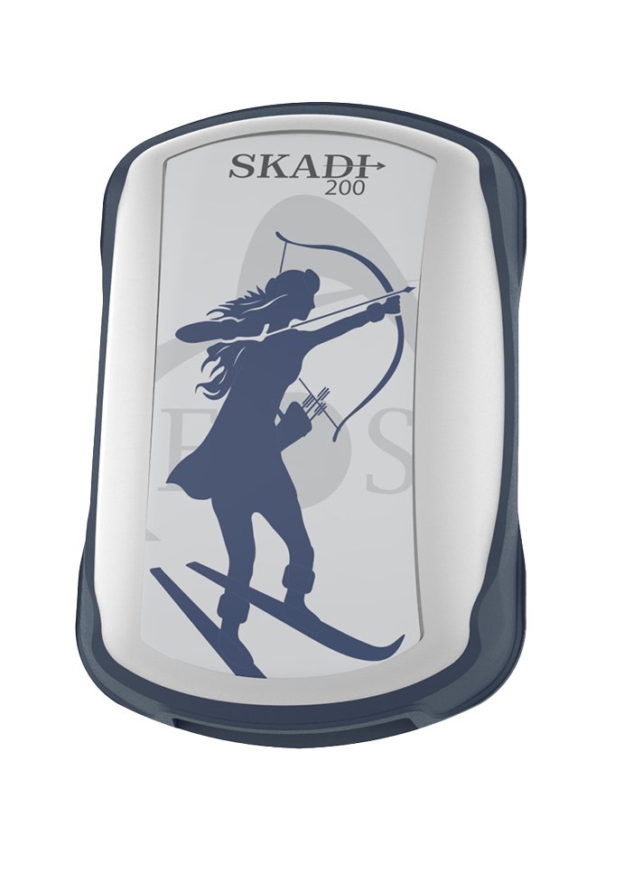 Dual-frequency RTK
Skadi 200™
Dual-frequency RTK GNSS receiver with integrated antenna and optional upgrades.
-
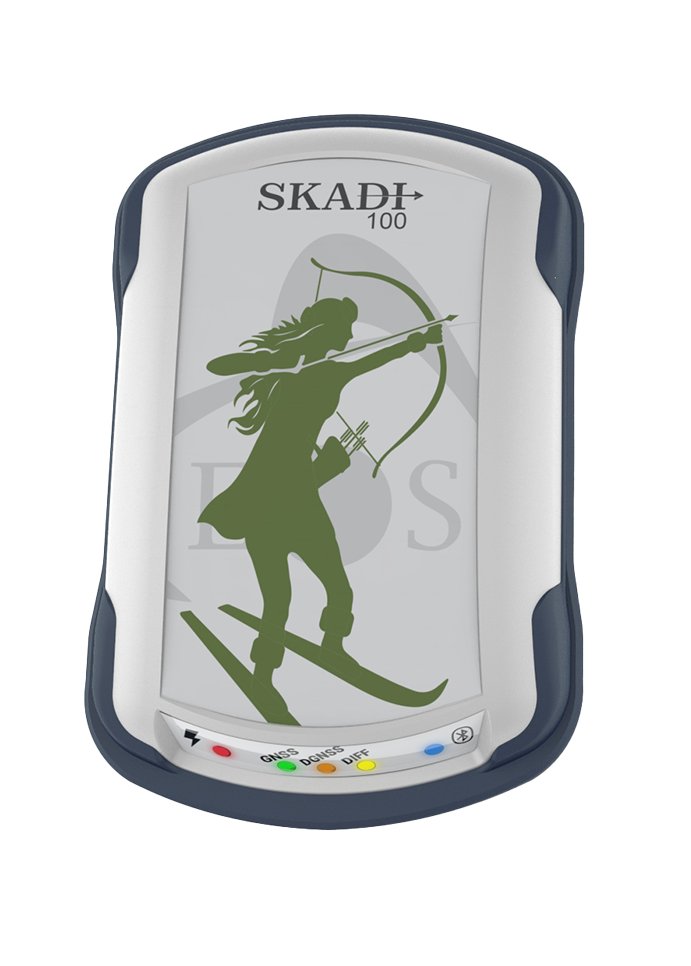 Submeter
Skadi 100™
Single-frequency submeter GNSS receiver with integrated antenna, using free SBAS corrections.
GNSS receivers
Arrow Series®
Bluetooth® GNSS receivers with an external antenna that deliver high-accuracy positions to iOS, Android or Windows devices running a data-collection app.
-
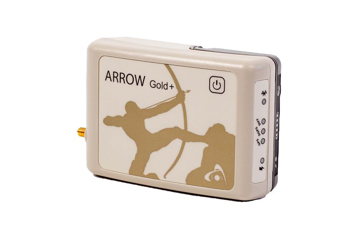 All-frequency RTK
Arrow Gold+®
All-frequency RTK GNSS receiver with support for Galileo HAS.
-
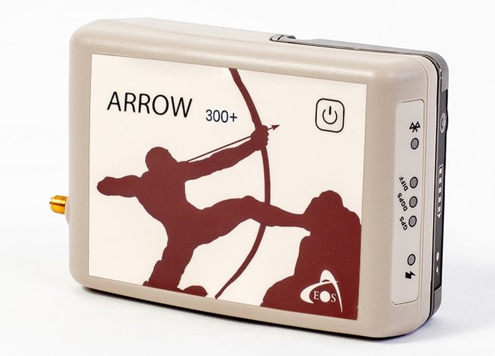 Triple-frequency RTK
Arrow 300+™
Triple-frequency RTK GNSS receiver.
-
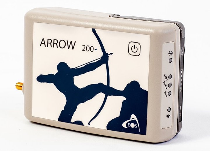 Dual-frequency RTK
Arrow 200+®
Dual-frequency RTK GNSS receiver.
-
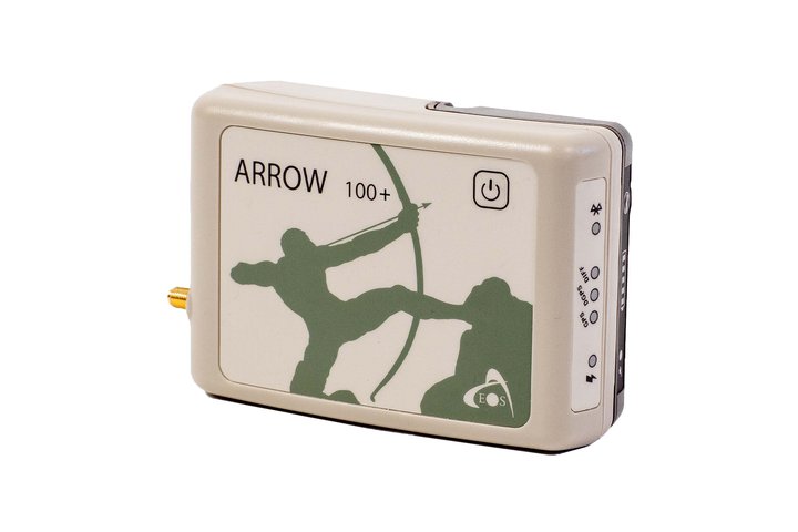 Submeter
Arrow 100+®
Single-frequency submeter GNSS receiver, with optional Atlas® H50 correction service.
Compare
Compare receivers
Every Skadi and Arrow receiver side by side, from the manufacturer’s comparison chart.
Download the comparison chart (PDF, 1.4 MB)| Specification | Arrow 100+® | Skadi 100™ | Arrow 200+® | Skadi 200™ | Arrow 300+™ | Skadi 300™ | Arrow Gold+® | Skadi Gold™ |
|---|---|---|---|---|---|---|---|---|
| Mobile device support | iOS®, Android™, Windows® | iOS®, Android™, Windows® | iOS®, Android™, Windows® | iOS®, Android™, Windows® | iOS®, Android™, Windows® | iOS®, Android™, Windows® | iOS®, Android™, Windows® | iOS®, Android™, Windows® |
| GNSS frequency | Single frequency, L1 | Single frequency, L1 | Dual frequency, L1/L2 | Dual frequency, L1/L2 | Triple frequency, L1/L2/L5 | Triple frequency, L1/L2/L5 | All GNSS frequencies | All GNSS frequencies |
| GNSS constellations | GPS, GLONASS, Galileo, BeiDou, QZSS | GPS, GLONASS, Galileo, BeiDou, QZSS | GPS, GLONASS, Galileo, BeiDou, QZSS | GPS, GLONASS, Galileo, BeiDou, QZSS | GPS, GLONASS, Galileo, BeiDou, QZSS, IRNSS | GPS, GLONASS, Galileo, BeiDou, QZSS, IRNSS | GPS, GLONASS, Galileo, BeiDou, QZSS, IRNSS | GPS, GLONASS, Galileo, BeiDou, QZSS, IRNSS |
| Antenna | External | Integrated | External | Integrated | External | Integrated | External | Integrated |
| Included field mount | Antenna soft hat, receiver belt pouch | Skadi Standard Handle™ | Pole mount | Skadi Standard Handle™, pole mount | Pole mount | Skadi Standard Handle™, pole mount | Pole mount | Skadi Standard Handle™, pole mount |
| SBAS accuracy | 30–60 cm | 30–60 cm | 30–60 cm | 30–60 cm | 30–60 cm | 30–60 cm | 30–60 cm | 30–60 cm |
| L-band accuracy with Atlas® | Atlas® H50: 30 cm | Atlas® H50: 30 cm | Not supported | Not supported | Atlas® H10: 4 cm · H30: 15 cm · H50: 30 cm | Atlas® H10: 4 cm · H30: 15 cm · H50: 30 cm | Atlas® H10: 4 cm · H30: 15 cm · H50: 30 cm | Atlas® H10: 4 cm · H30: 15 cm · H50: 30 cm |
| Galileo HAS accuracy | Not supported | Not supported | Not supported | Not supported | Not supported | Not supported | < 20 cm | < 20 cm |
| RTK accuracy | Not an RTK receiver | Not an RTK receiver | 1–3 cm | 1–3 cm | 8 mm | 8 mm | 8 mm | 8 mm |
| SafeRTK® | Not supported | Not supported | Not supported | Not supported | Yes | Yes | Yes | Yes |
| Output rate | 1 Hz included; 10 Hz and 20 Hz optional | 1 Hz included; 10 Hz and 20 Hz optional | 1 Hz included; 10 Hz, 20 Hz and 50 Hz optional | Default 1 Hz, 10 Hz included; 20 Hz and 50 Hz optional | 1 Hz included; 10 Hz, 20 Hz and 50 Hz optional | Default 1 Hz, 10 Hz included; 20 Hz and 50 Hz optional | 1 Hz included; 10 Hz, 20 Hz and 50 Hz optional | Default 1 Hz, 10 Hz included; 20 Hz and 50 Hz optional |
| Battery autonomy | 18+ hours | 13+ hours | 14+ hours | 13+ hours (11+ hours with tilt compensation) | 11+ hours | 9+ hours (8+ hours with tilt compensation) | 11+ hours | 9+ hours (8+ hours with tilt compensation) |
| Serial port | Included | Included | Included | Included | Included | Included | Included | Included |
| Skadi Tilt Compensation™ | Not supported | Not supported | Not supported | Optional activation | Not supported | Optional activation | Not supported | Optional activation |
| Skadi Smart Handle™ | Not supported | Not supported | Not supported | Optional accessory | Not supported | Optional accessory | Not supported | Optional accessory |
- Specifications published by Eos Positioning Systems, Inc. (comparison chart, September 2025) and subject to change by the manufacturer. Achieved accuracy depends on satellite visibility, corrections, baseline length and site conditions.
- SBAS, Atlas® and Galileo HAS are satellite-based corrections (no internet connection required). Atlas® requires a subscription; optional output rates, activations and accessories are purchased separately.
- IRNSS: L5 only. Skadi Series™ receivers accept an optional external antenna. Surveying range poles are sold separately.
For utility locating
Eos Locate™ for ArcGIS®
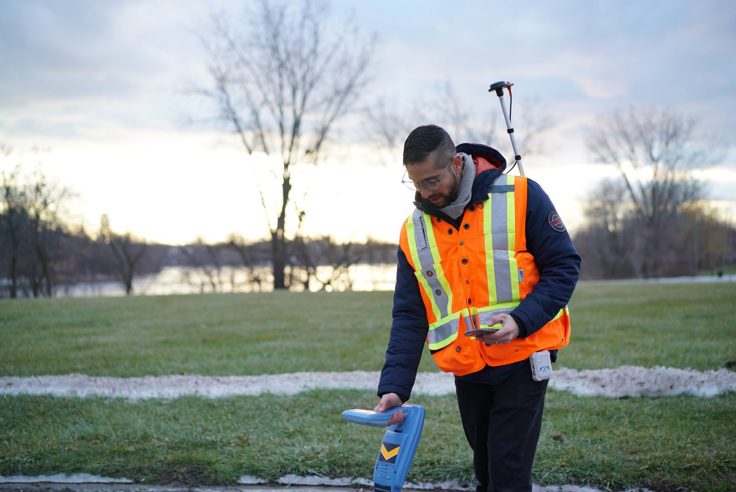
Pairs a compatible utility locator with an Eos receiver, so each locate point is recorded with its position and depth of cover directly in ArcGIS.
What a setup includes
- A Skadi Series™ or Arrow Series® receiver (Eos recommends Skadi Gold™ or Arrow Gold+®)
- Eos Tools Pro and ArcGIS Field Maps on an iPhone® or iPad®
- A compatible utility locator, with Eos Bridge™ for locators without iOS support
Solutions & activations
Software, corrections and upgrades
-
Eos Locate™ for ArcGIS®
Records buried utility positions and depth of cover from a compatible utility locator directly into ArcGIS Field Maps, using a Skadi or Arrow receiver and Eos Tools Pro on iOS.
-
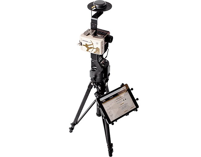
Eos Laser Mapping™ for ArcGIS®
Laser offset mapping into Esri® ArcGIS Field Maps with an Eos receiver, a Laser Technology rangefinder and Eos Tools Pro, for features in alleys, under trees or in busy streets that are hard to reach or unsafe to occupy.
-
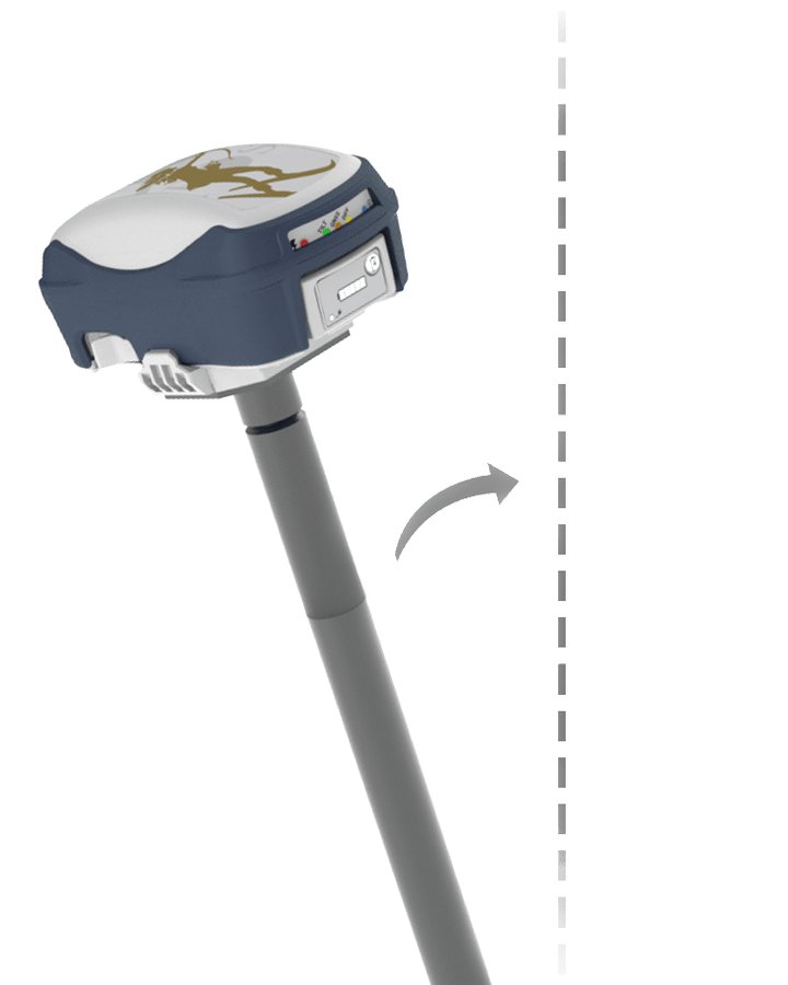
Skadi Tilt Compensation™
Optional activation for Skadi 200, 300 and Gold receivers that removes the need to level the range pole while collecting points.
-
Atlas® Correction Service
Paid satellite correction subscription available worldwide, for supported Eos receivers working without an RTK network or internet.
Product information, specifications and datasheets are published by Eos Positioning Systems, Inc. and are subject to change by the manufacturer. Prices are quoted per order and are not listed on this site. Eos Positioning Systems, Skadi Series, Arrow Series, Eos Locate, Eos Laser Mapping and related product names are trademarks of Eos Positioning Systems, Inc. Esri and ArcGIS are trademarks of Esri; other names are trademarks of their respective owners.
Need GNSS equipment?
Tell us which receivers or solutions you’re considering, how many units and how they’ll be used. We’ll confirm the configuration and send a quote.