Utility locating & damage prevention
Precision in the field. Confidence in the ground.
Professional utility locating and damage prevention, based in Leduc, Alberta. Serving projects across Alberta, with locate services in Saskatchewan, Manitoba and British Columbia.
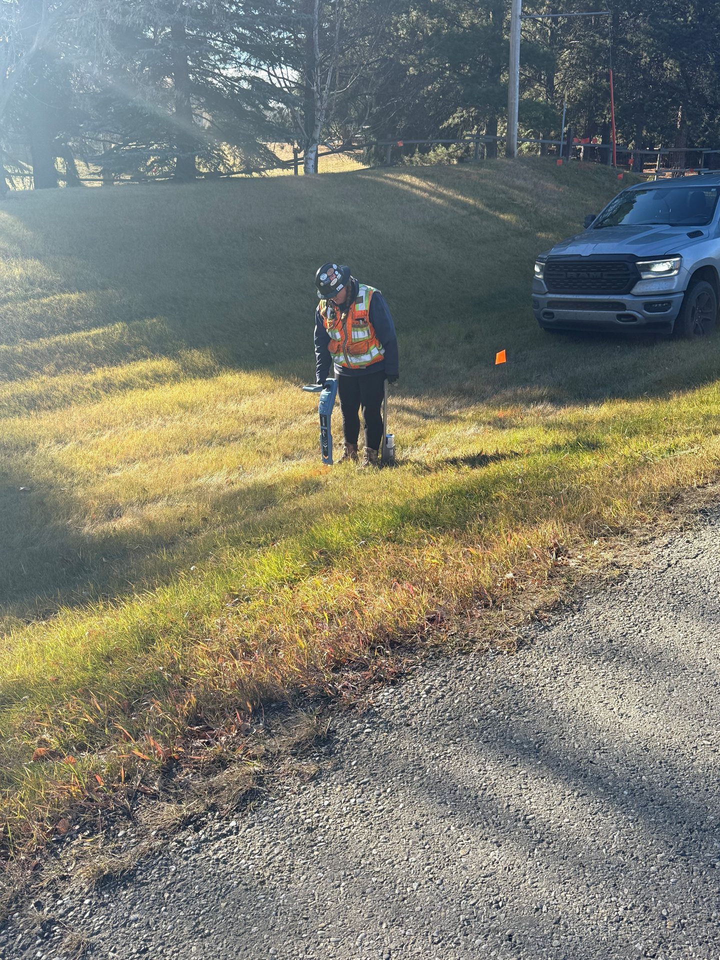
- SUE utility locating
- Private and oil and gas locating
- RTK/GNSS documentation
- Locate services in Alberta, Saskatchewan, Manitoba and British Columbia
Services
Utility locating built for the field
Utility locating and damage prevention services for construction, infrastructure and energy projects across Western Canada.
-
SUE Utility Locating
Buried utility facilities located and clearly marked ahead of ground disturbance, with RTK/GNSS field documentation built into the work.
-
Private Utility Locating
Locating of privately owned infrastructure that falls outside normal One Call scope — site services, secondary lines and on-property facilities.
-
Oil & Gas / ROW
Lease, site, pipeline and right-of-way locating for oil and gas work, with depth-of-cover field work and GNSS-documented facility records.
-
One Call Management
Management of locate requests and tickets, with coordinated documentation for clients running multiple sites or programs.
-
Audit & Investigation
Field audits, locate-quality review and documentation review, with investigation support when a damage or near miss occurs.
How Peak documents the work
A locate shouldn’t disappear when the paint does.
Paint fades, flags get pulled and stakes get run over. The information a locate produces is worth more than a few weeks on the ground.
On applicable locating work, Peak’s crews capture field markings and relevant features with RTK/GNSS positioning during the same visit, so clients get a digital record alongside the physical marks. It isn’t a separate service to order; it is part of how Peak locates.
Records are project documentation, not a substitute for a current locate or a legal survey.
Typical deliverables
- KML
- Google Earth and common map viewers
- SHP
- Shapefile for GIS environments
- CAD
- CAD-compatible data for design teams
- MAP
- Digital sketches and site maps, where applicable
Formats are agreed per project to match how the data will be used — not every job needs every format.
Where we work
Based in Leduc. Working across four provinces.
- Alberta
- Based in Leduc, Alberta, with field capability in the Edmonton and Calgary regions and crews mobilizing throughout the province. Peak Locating is ALP certified.
- Saskatchewan, Manitoba and British Columbia
- All five services are also offered here, with scope confirmed for each project.
-
20+ years
Industry experience our team brings from utility, pipeline and private-infrastructure locating.
-
Damage prevention first
Trained, assessed and audited locators working to documented field processes.
Need a locate?
Whether you’re managing a single excavation or coordinating a larger infrastructure program, talk to Peak about the locating and documentation your project requires.